New SATIIM and EU FPIC Project

SATIIM Launches FPIC Project

(Belmopan, Cayo District – February 15, 2024) – The Sarstoon Temash Institute for Indigenous Management and the European Union today launched a new project to standardize implementation of the country’s FPIC Protocol.

The new project, Building capacity for an inclusive, pragmatic national effort to scale up FPIC

in Belize, will engage Indigenous communities, government ministries, civil society organizations to develop standardized manuals, forms and procedures to ensure smooth, clear implementation of this government policy instituted since 2022.

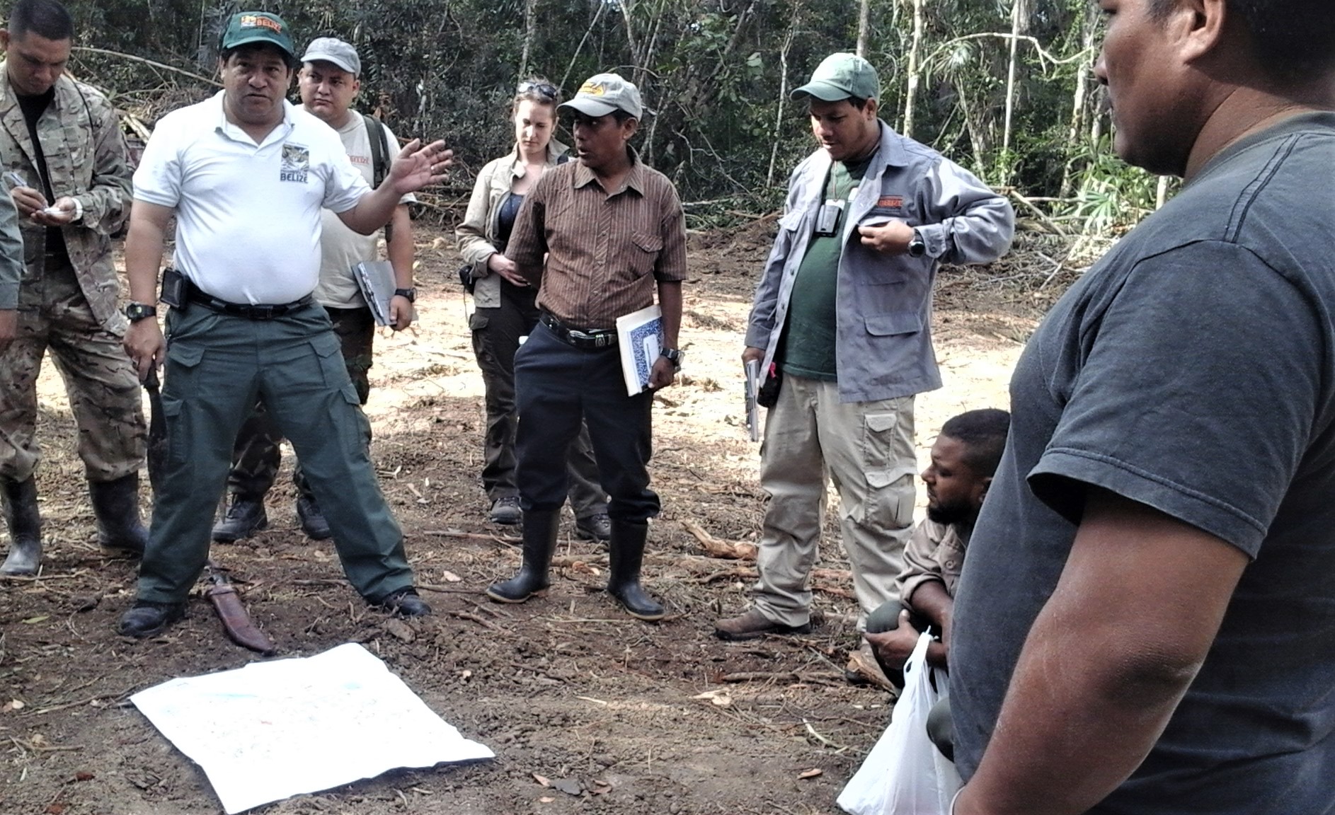
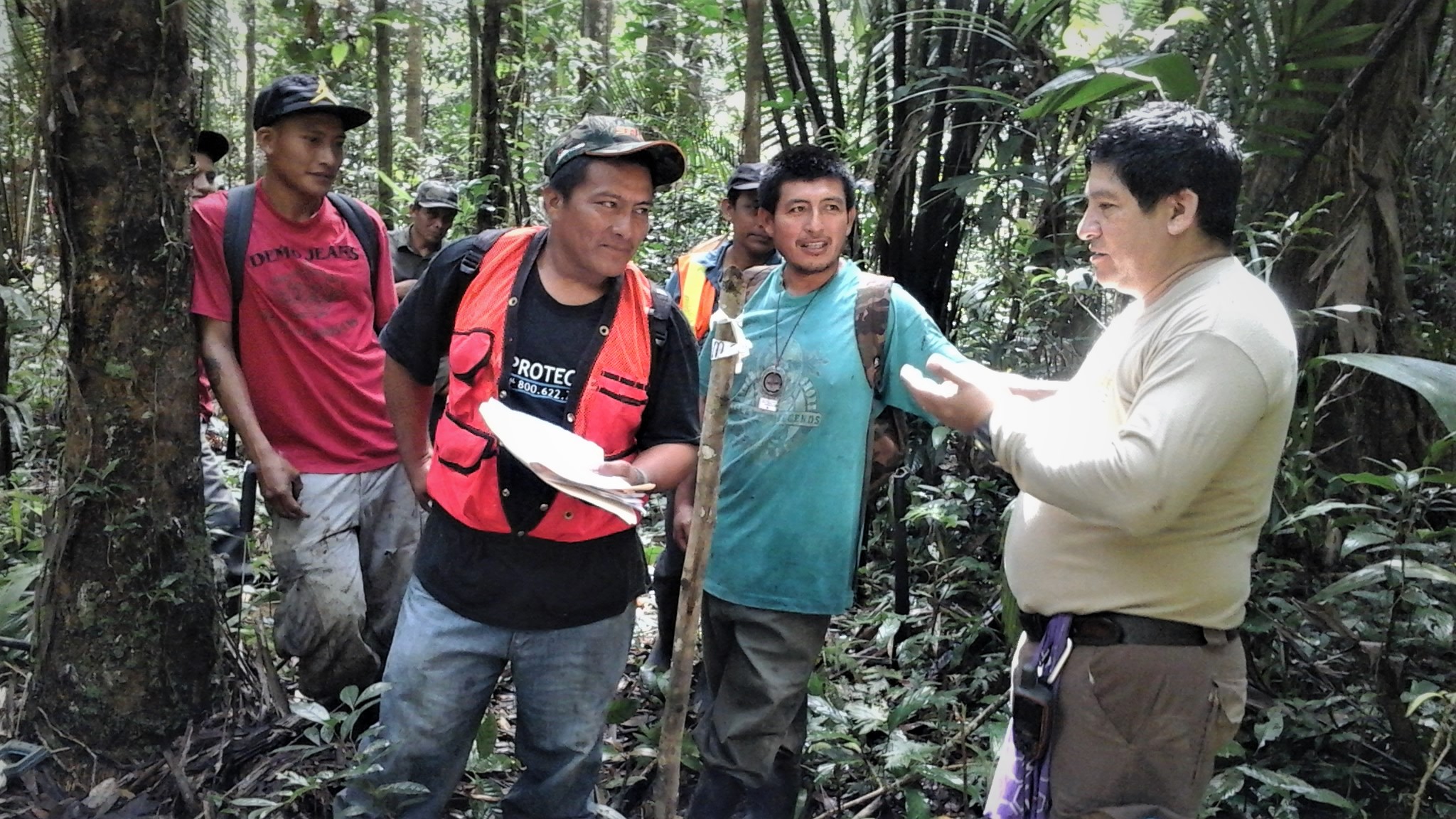
This collaborative effort is being coordinated by SATIIM, an Indigenous NGO founded almost 30 years ago on the principle of free, prior and informed consent by five communities whose land was included, without their knowledge, in the Sarstoon Temash National Park. The project will enable the fulfilment of both the promise and obligations of the CCJ Consent Order, the 2007 Supreme Court ruling on Maya Land rights, and other international human rights conventions to which Belize is a signatory.

It will ultimately strengthen government, Indigenous, and CSO ability to implement the FPIC Protocol through a clear, standardized process

Since 2017, SATIIM has trained Indigenous communities in FPIC concepts. Under the last EU-supported project, Promoting and protecting the economic, social, and cultural rights of Maya women in Belize, SATIIM provided FPIC training to Maya women and submitted their related concerns in the first Belize Maya women’s report to the UN Committee on the Elimination of Discrimination Against Women (CEDAW).

END

SATIIM’s Executive Director Froyla Tzalam appears in September 2017 issue of Cultural Survival Quarterly. Her article “Mapping on Our Terms”, which describes Crique Sarco’s efforts at mapping its lands, can be found on page 10.

The link to the magazine is here: https://issuu.com/culturalsurvival/docs/csq-41-3

The launch of the Maya Lands Registry has been in the news in Belize and across the world. Several stories are below:

Latinamerica Press: http://lapress.org/articles.asp?art=7446

Channel 5 Belize Live Stream (story starts at 31:00) – https://vimeo.com/229219260
You can see the mini-documentary here: https://www.youtube.com/watch?v=JX9…
On August 9, International Day of the World’s Indigenous Peoples and the Tenth Anniversary of the UN Declaration on the Rights of Indigenous Peoples, the Sarstoon Temash Institute for Indigenous Management is launching the Maya Lands Registry.
In 2015, the Caribbean Court of Justice ordered the Belize government to “create an effective mechanism” to identify and protect Mayan lands in accordance with their traditional governance. Two years later and still no mechanism exists.
“Given the ongoing uncertainty surrounding the implementation of the Court order, Crique Sarco took the matter into their own hands,” said said Froyla Tzalam, SATIIM Executive Director.
Crique Sarco was the first Maya community to ask for SATIIM’s assistance to prepare for the legal mechanism specified in the CCJ ruling. SATIIM and Crique Sarco developed a Mayan model that identified traditional territorial boundaries and resolved boundary conflicts.
The maps are the initial entry in the listing of customary land usage and delineation that will be collected in the Maya Land Registry.
“This is an historic moment, a big step in a long process ahead,” said Tzalam. “We celebrate that the Maya have taken the initiative to implement the CCJ order.”

SATIIM Joins Regional Sustainable Forestry Project

SATIIM has joined forces with the German government and the UN Food and Agriculture Organization in a regional  project to develop guidelines in sustainable forest management in the lowland tropical forests of Caribbean.

In the first phase of the project, SATIIM’s Community Mobilizer Martin Cus worked closely with the Maya community of Sta Theresa in southern Belize in forest data collection.

Regional Training_ Reading stock map

The Qiche Ha Community Forestry Group received training in how to create a tree inventory.

established transect line

The group’s data will contribute to national research conducted by the Programme for Belize.

SATIIM’s participation in the project fulfills our strategy to support sustainable Maya community development. It is vital that Maya communities are empowered to document their inventory of trees, monitor the rate of extraction, and create their own system of permits and accountability.

In the past three years, SATIIM has trained Maya communities in GIS-based forest mapping and monitoring, designed community land use surveys, and held workshops to develop community natural resource plans. This year SATIIM projects resulted in the creation of Belize’s first community participatory mapping process, the first Maya territory maps, the first Indigenous community commitment to sustainably manage a protected area, and the first steps toward a regional Maya model of environmental planning.